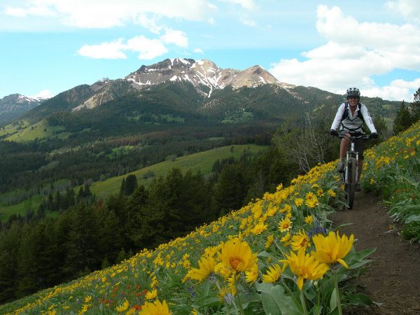
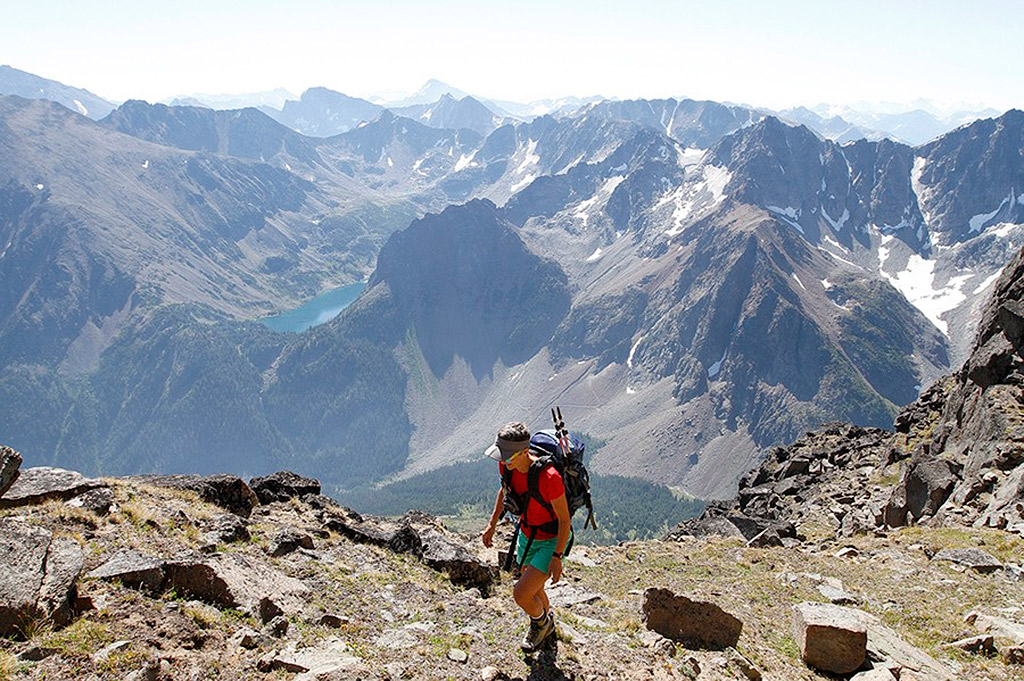
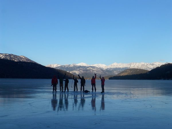
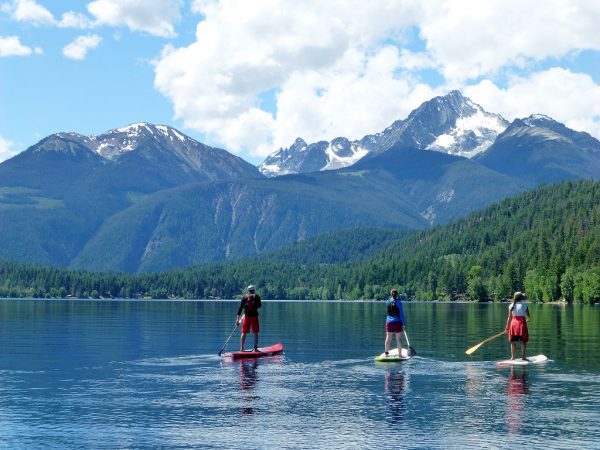
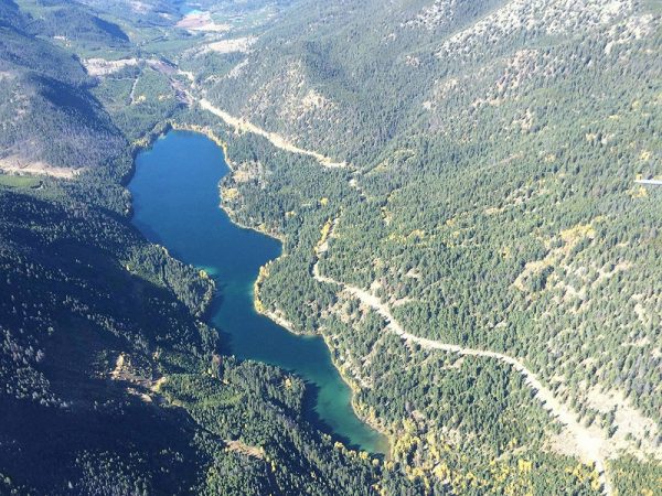
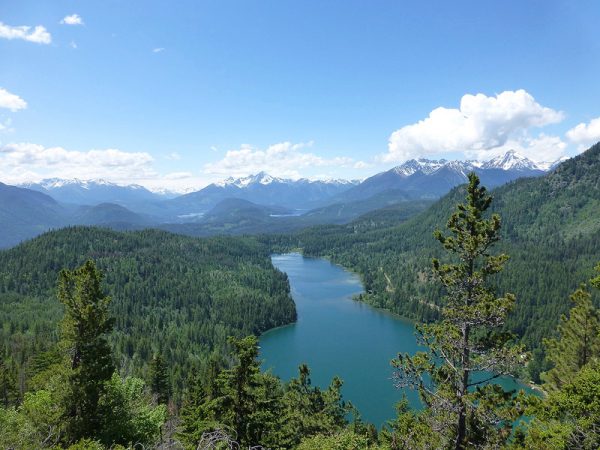
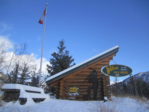
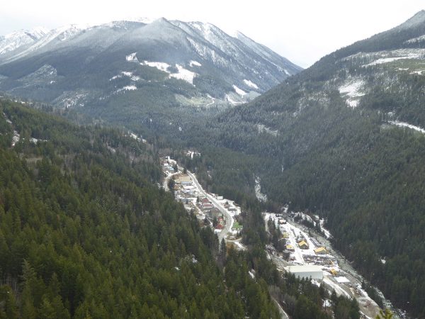
Welcome to the Bridge River Valley – Gold Bridge, Bralorne, Gun Lake & Tyaughton Lake.                                  Where Wilderness and Adventure Meet!


It’s the land of plenty; sun, snow & unlimited adventure possibilities!


  Yoodle Lake near Gold Bridge, BC       Curling on Little Gun Lake               


Community Directory  |  Maps & Info  |  Resources Building  |  Events & Adventures  |  Contact Us

Bridge River Valley Real Estate  |   Links & Community Info   |   Monthly Valley Newsletter

Summer Scenery   |   Winter Scenery   |   Valley Wildlife


Welcome to the Bridge River Valley, a vast mountain region stretching beyond the grasslands of Gun Creek west to the Bridge River Glacier and north to the Chilcotin Plateau.


Long known by inhabitants as Skumakum, land of plenty, its lakes and streams abound with rainbow and eastern brook trout, kokanee, Dolly Varden, and whitefish. Its valleys and meadows of lupine, heather, and tiger lilies are home to mule deer, bear, moose, and the grizzly. On its slopes are bighorn sheep and mountain goats.


In the 1880's gold prospectors journeyed upstream from the Fraser River to hunt for the "motherlode", blazing a network of Gold Rush trails throughout the valley.


Today visitors follow these same paths into the back-country to find their own rewards: the mountain vistas, lakes and streams, shady forests and bright meadows of wild flowers. Perhaps even a bit of gold. Panning is still allowed — with the land owner's permission. Or, if gold isn't for you, how about jade? The largest jade boulder recorded in the Guinness Book of World Records was found in Noel Valley near the town of Bralorne.  The town of Gold Bridge is situated between the Carpenter Lake Reservoir and the LaJoie Dam on Downton Lake.


The Bridge River Valley offers many forms of Wilderness Adventure.  Winter sports include heli-skiing, snowmobiling, snowboarding, cross-country skiing.  Summer sports include horseback riding, boating, water sports, fishing, hunting, hiking, camping, and most popular of all, mountain biking.


To help you plan your visit to the Bridge River Valley and to learn more of what the valley has to offer, follow this link to our Community Directory. Go to our Events & Adventures page for weather and road reports to see a live webcam of the valley with current weather please visit SouthChilcotin.ca.


Aqua waters of Carpenter Lake in the fall      Sunset on Carpenter Lake

Carpenter Lake Reservoir in the Bridge River Valley, Southern Chilcotin Mountains, British Columbia, Canada


Mountain Trails


Notable back-country destinations include Noel Valley, Taylor Basin, Lone Goat and Slim Creek. These areas offer challenging off snowmobile trail riding, from hill climbing to waist deep powder. The Bridge River Valley Snowmobile club maintains an emergency shelter in the Lone Goat Creek area, a potential destination for novices when trail and weather conditions permit. There is also an historic mining cabin in the Taylor Creek area.


In the winter time, bring your fishing gear and take an ice fishing break at any one of the many lakes these roads access. During the rest of the year, there are many rivers and creeks throughout the valley, and many perfect places to cast away the day.


All back-country areas are accessed from forest service roads which may or may not be plowed. Snowmobiling on plowed forest service roads is prohibited (however you can trailer in). Mountain Biking and Horseback Riding are ideal in the summer season. Slim Creek is unquestionably the biggest and best of all this area has to offer but be warned, there is thirty kilometers of road riding just to access the trail head. Extra gas, clothing and food should be standard equipment for anyone venturing into this area.


Lone Goat    Winter in the Valley      

Two favorite vistas in the Bridge River Valley, during the winter.


Reflection at Gun Lake     Meadows at Eldorado/Taylor Basin
      

Two favorite vistas in the Bridge River Valley, during the summer.


   Thanks to BC Hydro for financial assistance.


Thanks also to the SLRD for generous, ongoing support, and to Industry Canada and the 

Community Access Program for computer and internet equipment, and funding for staff salaries.


Link to satellite image of area: Google Maps


By signing our guestbook below, and entering your email address, you give us the ability to send you notices

about site updates and events in the Valley, including changes in Road conditions including (Hurley River Pass conditions) & Snow Reports


 [Sign Our Guestbook] [View Our Guestbook]
Powered by E-Guestbooks Server.


Site updated: February 4, 2008


Back to Top